Skip to main content
My Favorites
Place An Order
Copyright Statement
Contact
Home
Detroit (Mich.)--Maps
Detroit (Mich.)--Maps
bh030151
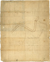
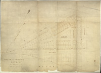
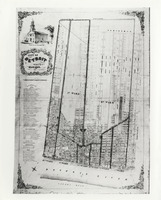
Map of Henry Connor farm
bh009366
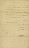
Letter from William Hull and Augustus B. Woodward to Congress
EB02g012
Street map of Detroit, Michigan
EB02g003
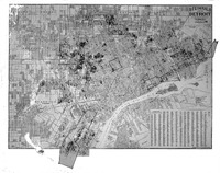
Map of Detroit, Michigan
EB02c425
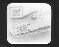
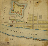
Map of Fort Leroult, Detroit, Michigan from 1780
bh028691
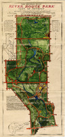
River Rouge Park map
bh024975
Map of Detroit, Michigan
bh021792
The people's map & guide of the city of Detroit
bh009595
Map of Detroit, 1812
bh009365
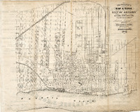
Plan of the city of Detroit, 1807
bh009364
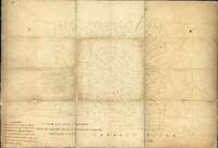
Plan of one section of Detroit, 1807
bh009363
Street map of Detroit, Michigan, 1837
bh006571
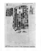
Study of the Cultural Center and Woodward corridor
bh006570
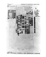
Study of the Cultural Center and Woodward corridor
bh006569
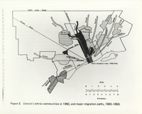
Map depicting migration of Detroit's ethnic communities
bh006567
Guide map of the city of Detroit
bh006566
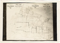
Detroit ward map
bh006565
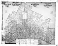
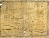
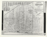
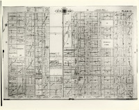
Baist's property atlas of the city of Detroit
Current page
1
Page
2
Next page
Next
Last page
Last
Subscribe to Detroit (Mich.)--Maps