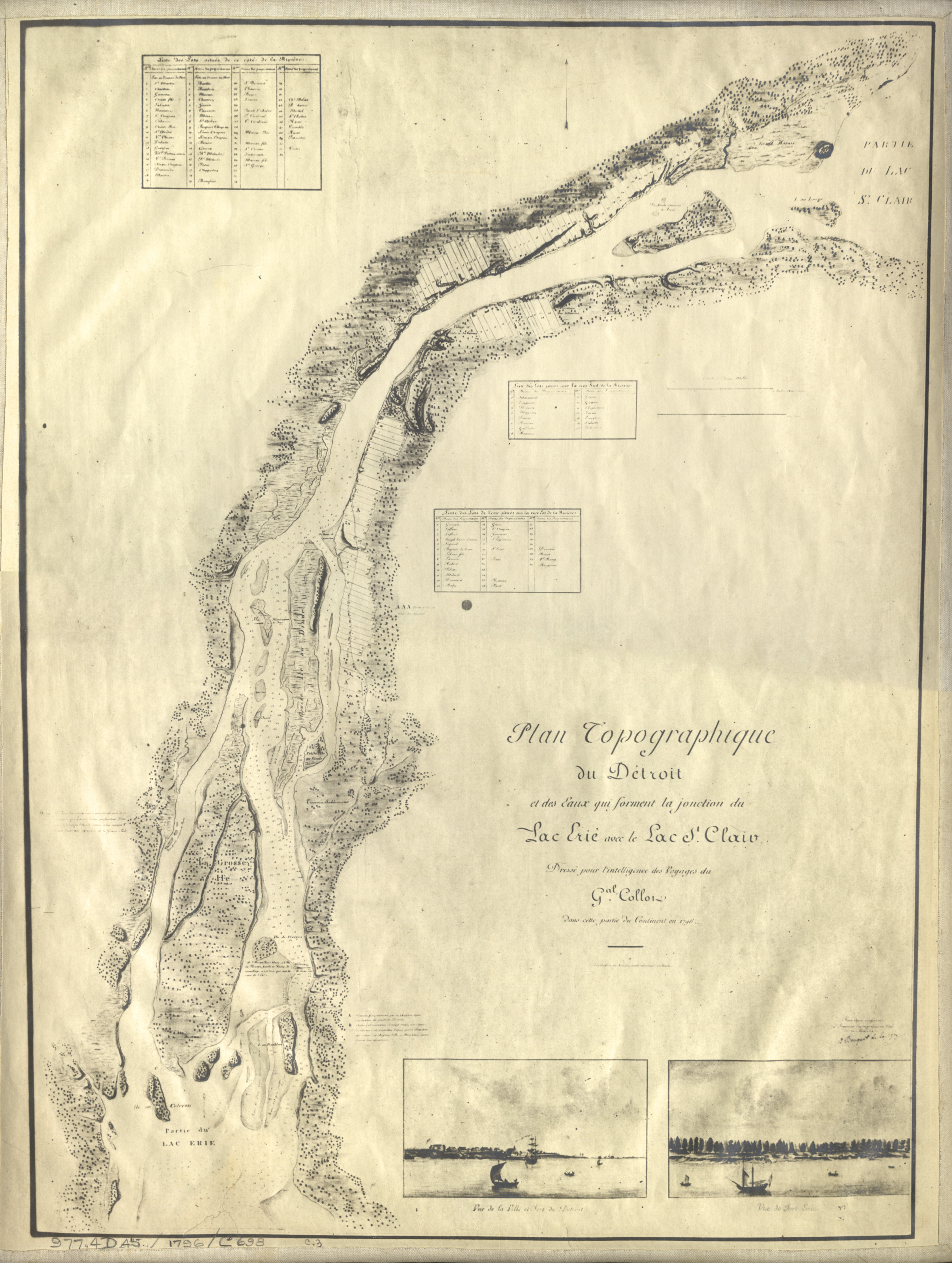
Map of Detroit River from Lake Erie to Lake St. Clair
Description:
Early topographical map depicting Detroit River from Lake Erie to Lake St. Clair. Printed on front: "Plan topographique du Detroit et des eaux qui forment la jonction du Lac Erie avec le Lac St. Claire. Dresse pour l'intelligence des voyages du Gal. Collot dans cette partie du continent en 1796."