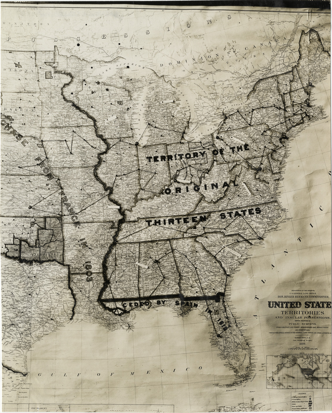
Favorite this☆ Map of Eastern United States Description: View of map showing the Eastern United States. Pins and string mark boundaries on map; printed on map: "Territory of the original thirteen states." Handwritten on back: "Geography, Maps, 1910." Details Resource ID: na007655 Subject: East (U.S.)--Maps Photographic prints Date Issued: 1910 Format: 1 photographic print ; 9.5 x 7.5 in. Member of: National Automotive History Collection Lazarnick Collection Filing Location: Geography Rights: Physical rights are retained by DPL. Copyright is retained in accordance with U.S. copyright laws.