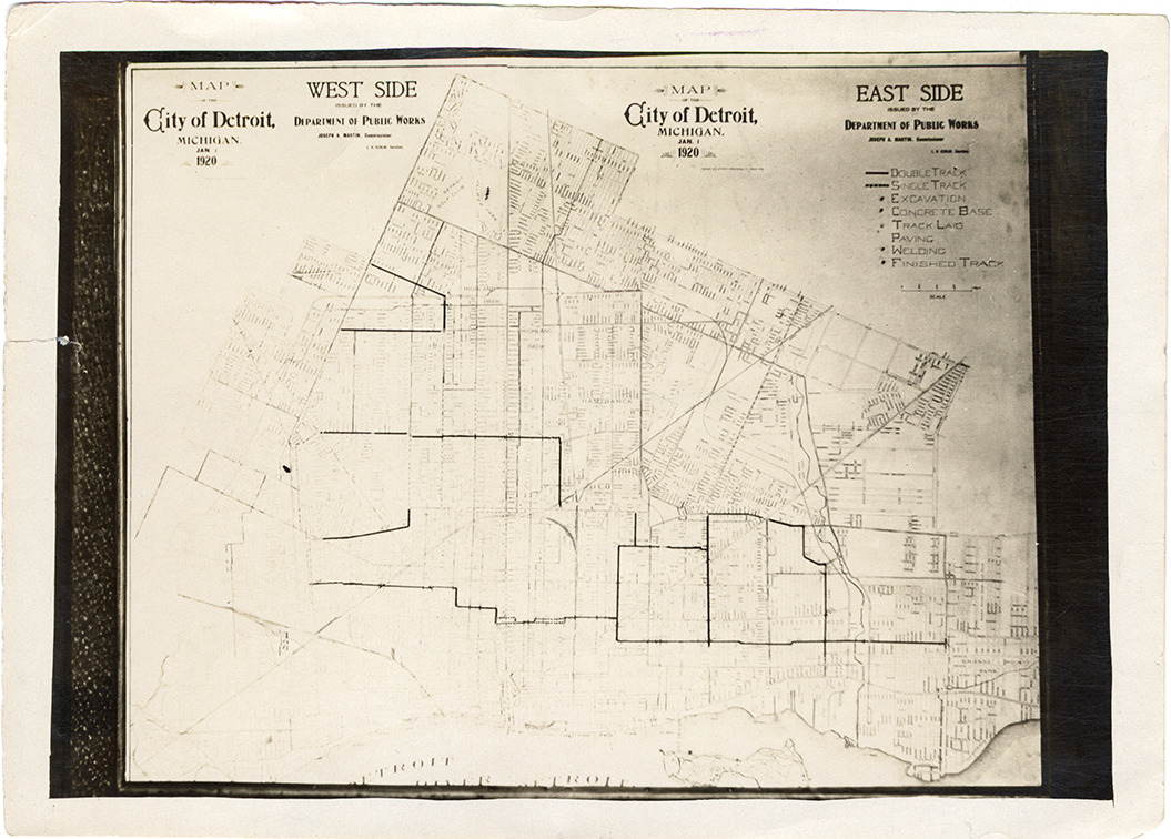
Favorite this☆ Map of Detroit, Michigan Description: Map of Detroit, Michigan issued by the Department of Public Works on January 1, 1920, possibly used by the Department of Street Railways. Details Resource ID: bh024975 Creator: Detroit (Mich.). Department of Public Works Subject: Detroit (Mich.)--Maps Detroit (Mich.). Department of Public Works Detroit (Mich.). Department of Street Railways Photographic prints Date Issued: 1920-01-01 Format: 1 photographic print ; 5 x 7 in. Member of: Burton Historical Collection Filing Location: D/Street railroads-DSR-Construction Rights: Physical rights are retained by DPL. Copyright is retained in accordance with U.S. copyright laws.